")
")
 Cameroon has joined a Congo Basin initiative that uses satellite imagery to monitor changes in forest cover in an effort to curb deforestation and help Central African countries access carbon finance. Democratic Republic of Congo (DRC), Republic of Congo and Central African Republic (CAR) signed an agreement with the French government and geo-information provider Astrium Services.
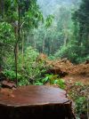
Cameroon followed this June, gaining a license to use images from the SPOT satellite Earth Observation System which could assist in protecting its rich forest reserve. Some observers, however, note that monitoring is not conservation, and that satellite images cannot detect selective logging and poaching, some of the major threaten for the Congo basin forests.
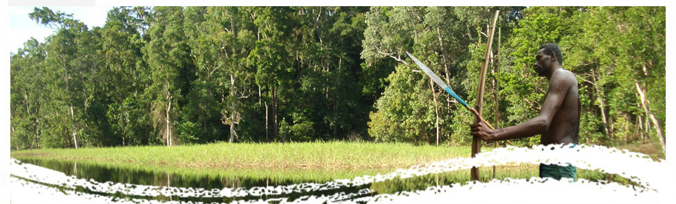
The forest area of the Congo Basin spans the borders of six countries – Cameroon, CAR, Republic of Congo, DRC, Equatorial Guinea and Gabon – covering around 330 million hectares.
Cameroon’s forests are the second largest in Africa, at more than 23 million hectare. But Cameroon lost 18 percent of its forest cover between 1990 and 2010, with an average annual decline of 0.9 percent, or 220,000 hectares, according to the State of the World’s Forests 2011 report issued by the U.N. Food and Agriculture Organization (FAO).