")
")
 A new online mapping tool launched to monitor global deforestation in “near-real time” has been welcomed by businesses, who say it will help encourage sustainability and transparency in the supply chain. The World Research Institute’s (WRI) Global Forest Watch uses information from millions of satellite images, as well as data crowdsourced from communities and campaigners on the ground, to provide an up to date view of the world’s disappearing forests.
Developed with the help of around 40 partners, including Google and the UN Environment Programme, the project was partly funded by grants from governments, including the UK’s. The easy-to-use tool utilises the technology behind Google Earth and Google Maps with algorithms specially developed by experts from the University of Maryland that scan collected images for sudden drops or spikes in vegetation.
While high-resolution images of global tree loss and gain are updated annually, data on forests in the tropics will be updated every month at a resolution of 500 metres. A beta version of the tool, which is free for all to use, is online now.
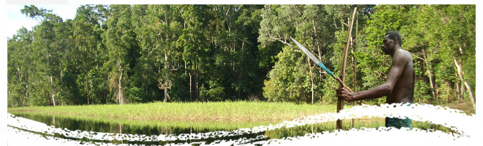
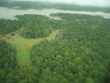
According to data from the University of Maryland and Google, the world lost 2.3 million square kilometers (230 million hectares) of tree cover between 2000 and 2012. This is equivalent to 50 football fields worth of forest lost every minute of every day for those 12 years.
Global Forest Watch’s designers say their work will have far-reaching implications across many industries. They say that investors will now be better able to evaluate if the companies they support are adequately assessing forest-related risks.
Buyers of commodities such as palm oil, soy, timber, and beef – products associated with the destruction of forests in many countries – will be able to check the environmental credentials of suppliers. These suppliers will also be able to use the tool to prove that their products are legally and sustainably produced.
The maps however, displays the loss and the gain of forests, without differentiate between natural forests and plantations. Plantations areas appear as loss + gain, but it impossible to asses wether it is an old plantation or if a natural forest recently converted into plantation (in this case is deforestation).